Our analysts can analyze your data and help you integrate essential functions your staff might not have integrated. Our solutions advisors can provide premium expert support to help you create threat analysis and develop response programs quickly.


Access to aerial imagery, satellite data and apply them with innovative modeling techniques using trusted machine learning technologies to make intelligent real-time predictions to mitigate risk caused by disasters.

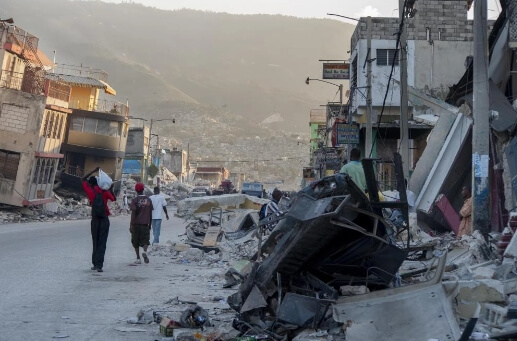
Reduce impact caused by disasters by sending out emails to customers, employees, and internal teams with live maps, relevant information, real-time news, and other critical updates to help them manage risks independently.

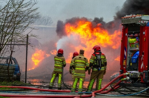
Use artificial cognitive processes to automatically send out notifications to inform your organization's response teams about a potential disaster and relay real-time updates from aerial and satellite imagery to them in an instant.

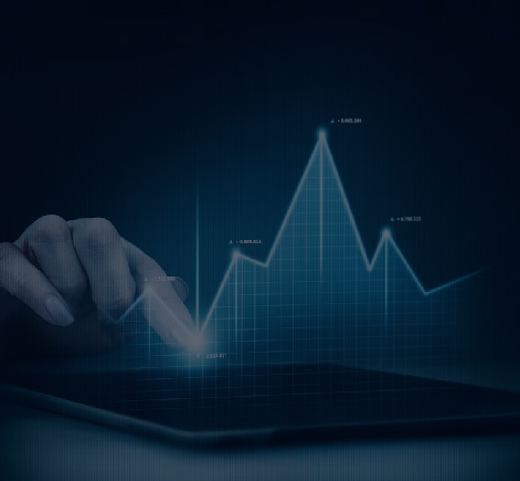
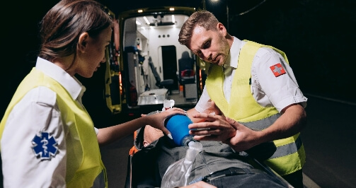
Provide your people with real-time data feeds with in-depth insights into your company's current exposures and losses to mitigate further risks and help all responders make informed decisions according to the situation on the ground.

There are many variations of passages of Lorem Ipsum available, but the majority have suffered alteration in some form, by injected humour, or randomised words which don't look even slightly believable. If you are going to use a passage of Lorem Ipsum,

There are many variations of passages of Lorem Ipsum available, but the majority have suffered alteration in some form, by injected humour, or randomised words which don't look even slightly believable. If you are going to use a passage of Lorem Ipsum,


Use machine learning to take a proactive approach to create a 24/7 strategy for wildfire mitigation by combining vital details, collecting data, creating patrols routes, evacuations protocols to produce a predictive risk score, and improved monitoring methods.

Implement an effective flood management system that collects data in real-time and uses complex mathematical models and historical data to predict how rivers and streams respond based on varying levels of rainfall, stream level, streamflow, and snowmelt.

Bring together satellite imagery, online map-based tools, real-time storm updates, and historic information to monitor over a hundred water level stations. Streamline existing operational capabilities and knowledge to ensure that commerce, communities, and natural resources recover as quickly as possible.

Use artificial intelligence and a wide variety of computer-aided tools and services that capture, store, check, and display information related to positions on Earth's surface. Mitigate risk using the Earth's gravity field surveys and react faster by creating a unified command center using remote sensing tools.

Use a dependable, efficient, and responsive carbon management system to improve the efficiency of coal-based power systems. Our AI-powered system enables you to capture CO2, increasing plant availability while maintaining the highest environmental standards.